01SMARTMAPS DATA
The entire territory,
ready to consume.
Multiple georeferenced data layers, updated and field-validated,
available via platform or API.
Unit of analysis
Market microdata aggregated to 100-meter grid cells.
Consumed in full or by individual layers.
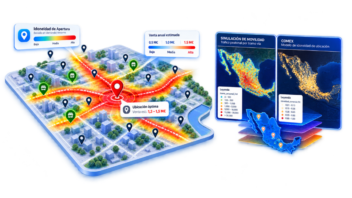
Information layers
Multiple layers, one single grid cell.
Sociodemographics
Population, households, income, and spending per cell.
Mobility
Pedestrian flows and movement patterns.
POIs
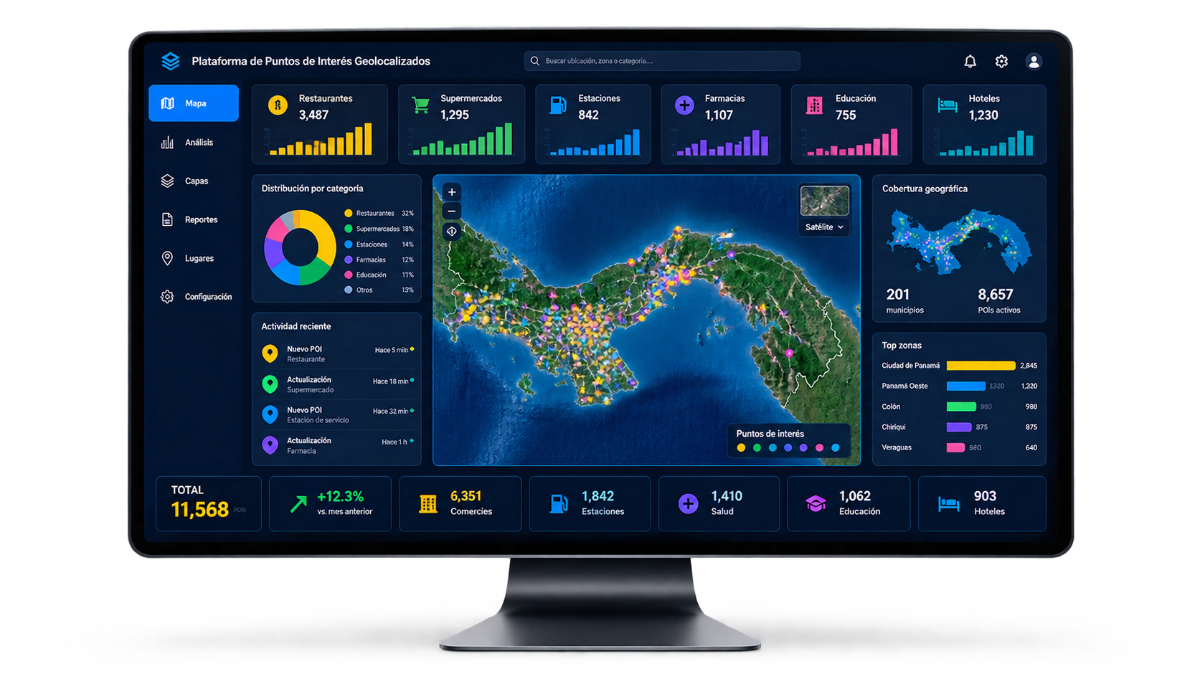
Surveyed and classified points of interest.
Tourism
Visitors, seasonality, and tourism offerings.
Commercial attractiveness
Potential index per 100-meter cell.
Built environment / Real Estate
Land use, pricing, and built environment.
Business network
Establishments, sectors, and business density.
Need another layer?
We collect it in the field.
Field data collection
When the layer doesn't exist, we gather it.
In-house field teams, customized survey forms per project, and real-time quality control as data is captured.
Georeferenced POI capture
Points of interest surveyed and classified on the ground.
Surveys and censuses
Tailored project questionnaires with live field validation.
Enriched attributes
Geotagged photos, digital signatures, and barcodes per record.
Real-time auditing
Field staff tracking and automated data quality assurance.
95%
accuracy in business censuses
120,000
points of interest in proprietary database
Subscription tiers
Three tiers, one standard of data.
RECOMMENDED
Pro
Custom quote
based on layers and volume
Complete layer set
Analytics module
API access
Enterprise
Custom quote
based on project scope
Custom layers & models
GIS implementation on Esri
System integrations
Scope is defined by layer count, geographic coverage, query volume, and delivery method. Each quote is tailored.
Frequently asked questions
Questions asked before requesting a sample.
In-house teams in 10 countries across the Americas and clients in more than 15. Coverage for each layer is confirmed by country when defining subscription scope.
Request a sample with your own data.
Tell us your industry and we will send you a sample of the layers relevant to your case, or schedule a project conversation.