




Verticals
Three ways to work with us.
Ready-to-consume data, certified capabilities on your existing platform, and proprietary development when the data or application does not exist.

Who is it for?
For organizations that need to turn location, market dynamics, and customer behavior into a competitive advantage.

Use cases
Spatial intelligence for profitable decisions.
Strategic decisions you can now back with precise geospatial evidence.
RETAIL
Store Network Expansion
Opening without evidence costs revenue and wasted leases. With commercial attractiveness and mobility, sites are selected based on proven potential.
+12% revenue per new location
BANKING & INSURANCE
Scoring with Territorial Context
An address reveals more than a form: surrounding environment, income, and business density enrich risk models.
95% census accuracy
CONSUMER GOODS
Distribution Coverage
Legacy routes leave untapped areas. Territories are optimized based on business density and actual demand.
+24% distribution margin
REAL ESTATE & OOH
Valuation & Exposure
Value depends on foot traffic and audience profile. Mobility and demographics turn it into a defensible figure.
+32% VAC in outdoor advertising
Reference metrics observed in portfolio projects; validated case by case.
View use cases Data layers
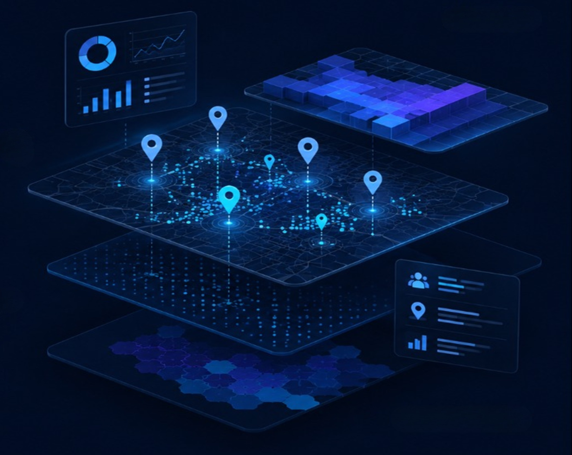
The entire territory, in multiple layers:
Market microdata with urban coverage, aggregated to 100-meter grid cells. Consumed in full or by individual layers.
SociodemographicsPopulation, households, income, and spending per cell.
MobilityPedestrian flows and movement patterns.
POIsSurveyed and classified points of interest.
TourismVisitors, seasonality, and tourism offerings.
Commercial attractivenessPotential index per 100-meter cell.
Built environment / Real EstateLand use, pricing, and built environment.
Business networkEstablishments, sectors, and business density.
Need another layer?We collect it in the field.
Coverage and depth vary by country; confirmed per project.
Backing
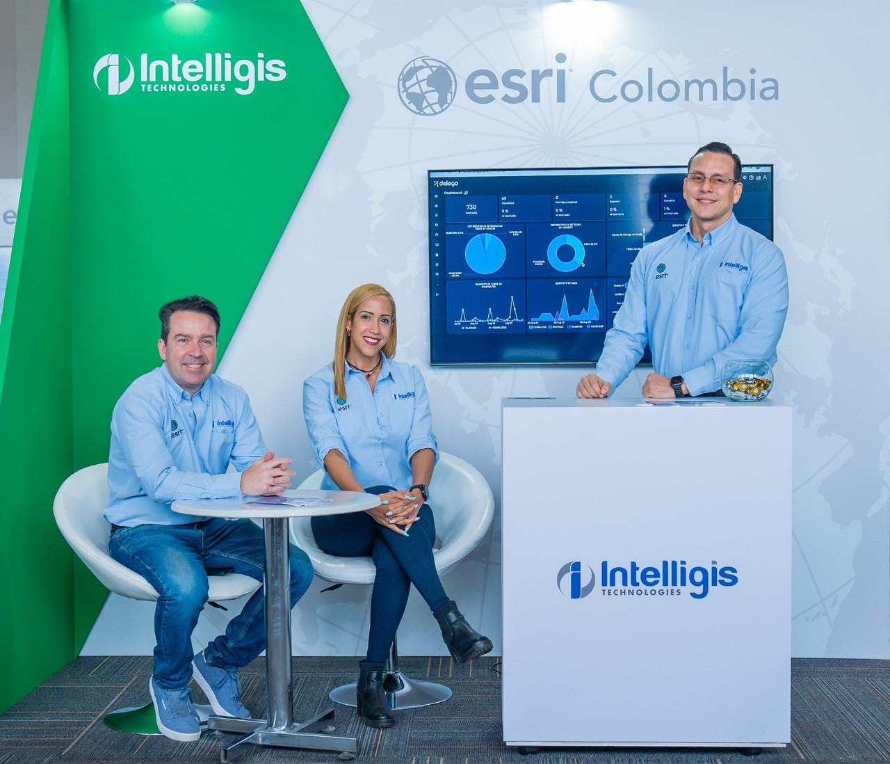
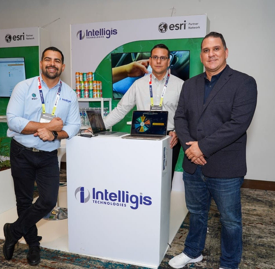
Backed by Esri, the global leader in the GIS market.

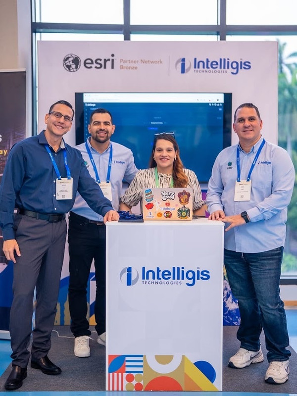
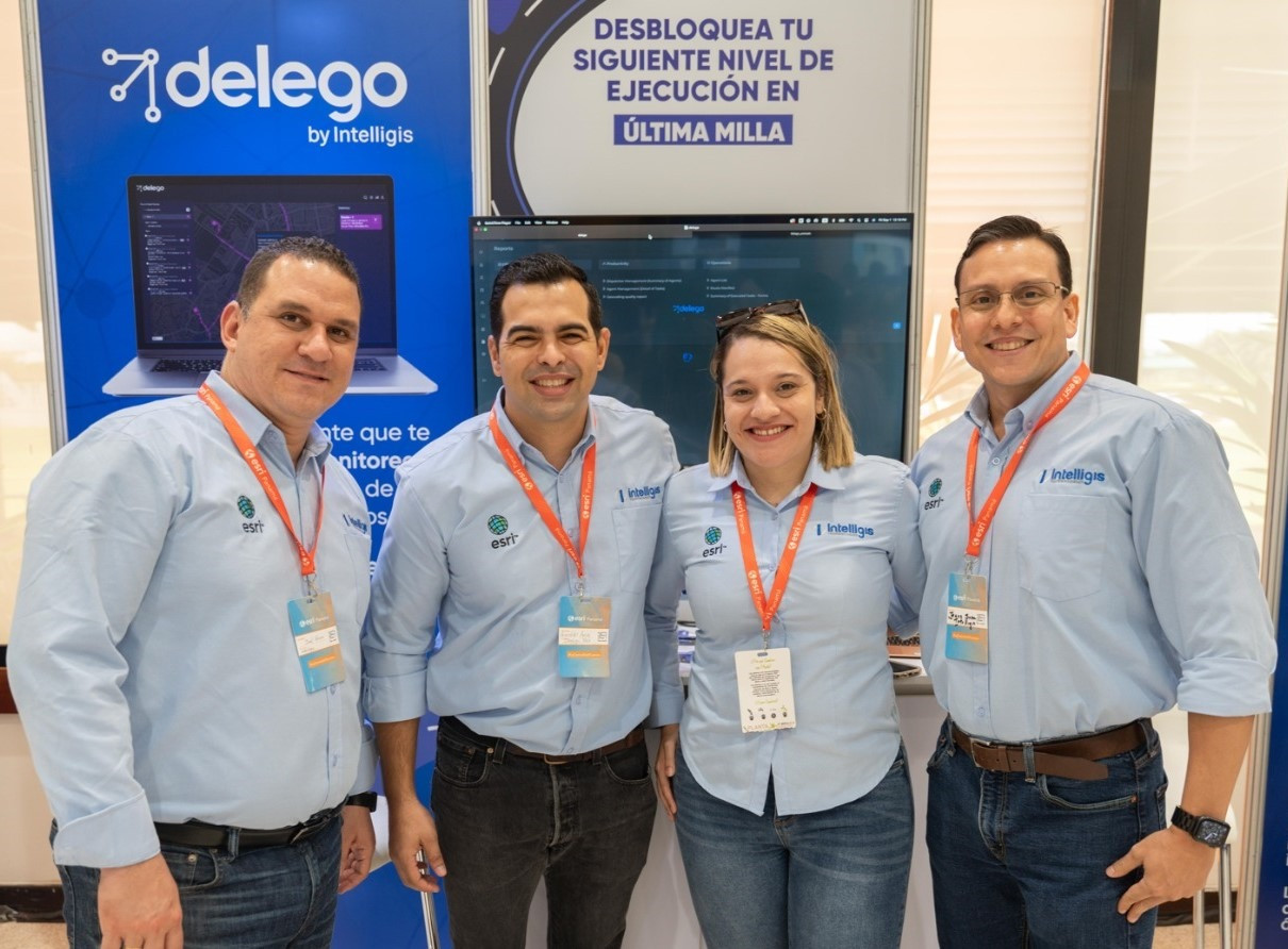
smartmaps is a product of Intelligis Technologies, an official partner of the Esri ecosystem and member of the Global Partner Advisory Council. This partnership has allowed us to deliver smartmaps GIS technology to sectors including retail, banking, consumer goods, real estate, government, utilities, and telecommunications.
+350K
clients
+10MM
users
201
countries
Regional reach
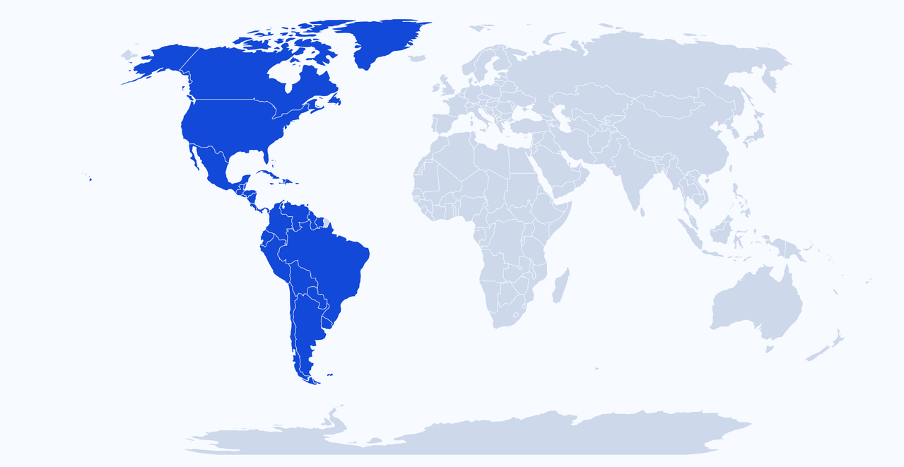
Focus on the Americas.
Proprietary teams across the region, with local operations and clients throughout the Americas.
10
countries with local presence
+15
countries with clients
PanamaCosta RicaNicaraguaEl SalvadorHondurasGuatemalaDominican Rep.ColombiaEcuadorChilePeruArgentinaBrazilMexicoUSA
Trust
Field-validated data,
not desktop estimates.
Esri Ecosystem Partner
Certification and backing from the global leader in GIS.
Direct Presence in the Americas
Local execution capability and dedicated in-house teams.
Field-Validated Models
Data is calibrated against real-world counts,
never guessed.
never guessed.
Request a sample with your own data.
Tell us your industry and we will send you a sample of the layers relevant to your case, or schedule a project conversation.